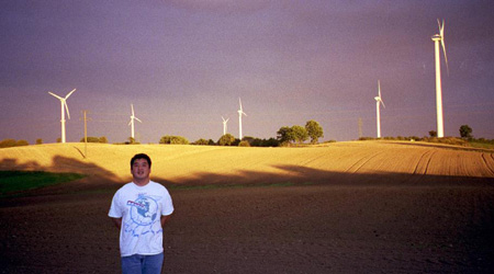
This entry in Mode Shift’s Flip category, which spotlights great online applications of multi-media technology, introduces a brand new mapping tool to help local government officials, utilities, and entrepreneurs identify suitable places to build commercial-scale wind turbines in Michigan. Developed by the Land Policy Institute at Michigan State University, and dubbed the Michigan Prospecting Tool by its developers, Charles McKeown and Benjamin Calnin, the online tool provides users an easy and elegant way to find the windiest places in Michigan. It also gives expert guidance on local factors that would advance wind energy farms – like nearby railroads and highways, and the amount of contiguous open space available in the region — or impediments, like wetlands or sensitive ecosystems that might lie in the way.Â
Users can view the potential wind sites from the height of an orbiting satellite, taking in the entire expanse of this 37 million acre state, or dive down to see the land use and environmental details of a single township. The prospecting tool , unveiled at a conference that the Land Policy Institute held last week to promote Michigan’s ability to manufacture the components of wind energy systems, provides developers an easy way to scan potential sites for new turbines. It also gives local government officials in Michigan, particularly those along the windy shores of Lake Huron and northern Lake Michigan, new knowledge that is tremendously useful in promoting a clean energy source that has the potential to help revive foundering rural economies.
