Flip, you may recall, is this blog’s effort to call out particularly good applications of interactive multi-media to the exquistely difficult work of reshaping America’s resource-wasting and demoralizing patterns of development. To an extent that is at once stupefying and aggravating most American communities have zoned themselves into corners of the 20th century — stressing separateness, division, car dependence, racial purity, and income stratification — that make no sense fot the mashup that is the 21st century. Put another way. Old school zoning sucks.
But just try convincing a community that fought like hell to install zoning to consider amending its approach to try something better. Right now the “better” is master plans that set out specific goals — like how many acres of farmland to preserve, how many miles of streets are needed, how much open space is adequate — and then set zoning regulations and incentives in place that actually achieve those goals. If your master plan says residents want a community that is environmentally sensitive, provides economic opportunity, wants to preserve a high quality of life, it behooves citizens and leaders to spell out exactly what that means. For decades, our master plans and zoning rules have been approximations and guesses and interpretations of what constitutes the good life. And in the process of negotiating the details we’ve managed to turn most of our places, and especially our suburbs, into rioutously unappealing places to be. That’s why cities and rural areas are attracting legions of new residents.
Still, advocates for a better way can’t start in this arena without plenty of data. And here, too, citizens are generally mismatched against the planning professionals and developers accustomed to gathering the data to make their case, and expert in using the numbers. In some instances counties make a stab at evening the playing field, providing good mapping and data retrieval capabilities. But it’s hard for citizens to find their way to the source. For example, Allegan County, a rural county along the Lake Michigan coast about 120 miles northeast of Chicago, has invested in terrific GIS mapping equipment and software, but it’s not connected in any meaningful way to the Internet or to the townships. In fact, Allegan’s GIS department doesn’t play a substantive role in master planning or zoning in one of the state’s growing counties because citizens aren’t easily able to get to the data. Â
That’s not the case here in the fast-growing counties of northwest Michigan. Local government officials, developers, citizen activists, non-profit organizations, and the business community have access to an interlocking network of land use data that has helped provide the foundation of a very rich regional discussion about growth and development.
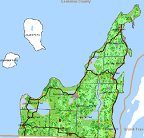
Just as impressive is the Land Information Access Association’s work to install interactive land use maps on the Web sites of township and county governments. The maps provide a bird’s eye picture of housing, population, environment, and other trends in full color. The Traverse City-based technology shop, founded by Joe VanderMeulen, is a hive of cutting edge thinking about how to make it easier for citizens to apply GIS capabilities.
There are many reasons why northwest Michigan has generated a nationally significant response to how to grow a beautiful rural area without wrecking the resource and scenic values that make it so special. We have great organizations capable of managing new technology in a way that adds to the public interest. Data is the coin of the realm in land use policy and practice. We got the data here. It’s a mouse click away.Â
Keith
1) great post
2) freedom of blogging … bet that NYTimes wouldn’t allow “Old school zoning sucks.”
3) friday was busy, we’ll have to find some time to get together as the days get long, weather warmer.
Spent afternoon cutting dead trees on my woodlot – they feed the rest of the trees better when on forest floor
Wondering if there is a political analog to that idea …
Keep up the good works
Ciao
Chip
Chip, good to see you on Friday and thanks for the all the help with Mode Shift. Keith